 |
Natural ResourcesActing Committee Chair: Tim Flood |
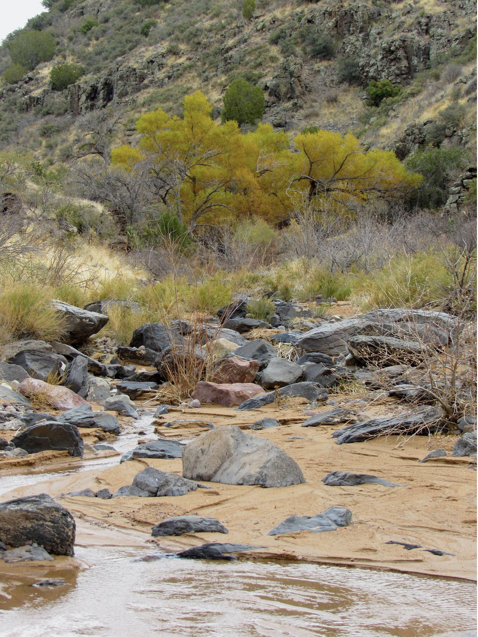
The natural resources on the monument face several unique challenges. Wildfires are a regular occurrence in dry times of the year. On many occasions, these fires are sparked from vehicles or unattended campfires. The Agua Fria River – a 120-mile-long intermittent stream which makes its way south from its origin in the Prescott area to just west of Phoenix where it merges with the Gila River– is undoubtedly the natural centerpiece of the Agua Fria National Monument. The 26.5-mile monument portion of this river travels from grass-chaparral habitat in the north, down to high-elevation Sonoran Desert at the southern boundary.
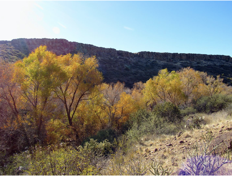
 Multiple tributaries such as the Silver and Indian Creeks join the Agua Fria River within the monument. Each drainage creates unique ribbons of thick, mature, native riparian vegetation including sycamores, cottonwoods, mesquite, and willows. This unique habitat has disappeared throughout much of the Southwest– what remains here stands as testament to the importance of the monument. With nearly 80% of Arizona’s wildlife depending on this type of habitat, it is no surprise that the Audubon Society has designated the Agua Fria’s National Monuments riparian corridors as an Important Bird Area. No less than 180 species of birds have been documented in the Agua Fria Monument, with 28 of these species being labeled as species with special conservation status.
The Agua Fria River is bordered by two grassy mesas, Perry and Black Mesa, which make up a large portion of the monument's total area. The semi-desert grassland habitats found on these mesas have traditionally supported herds of pronghorn along with unique grassland bird species such as the wintering short-eared owl, meadowlarks, grasshopper sparrows, and the occasional Sprague’s Pipit.
The natural resources on the monument face several unique challenges. Wildfires are a regular occurrence in dry times of the year. On many occasions, these fires are sparked from vehicles or unattended campfires. Secondly– invasive species on the mesas often follow in the aftermath of these fires, including tamarisk and crayfish in the riparian habitats. Third– above-ground water loss in riparian areas is a product of climate change as well as upstream groundwater extraction. And finally, livestock grazing in riparian areas– while historically allowed by the BLM under strict regulations– has, often, not gone according to plan or intent.
The monument has already experienced the loss of several species of wildlife– such as the Mexican Garter Snake. Others, like the American Pronghorn, need constant monitoring to ensure that their populations persist on the monument. In addition, much of the grassland habitat has been infiltrated with invasive plant species which threaten native varieties.
 The Friends of the Agua Fria National Monument are involved with collaborative efforts to monitor and track several of the most significant natural assets found within the monument. For instance, each year FAFNM organizes volunteers to map the availability of standing water along the Agua Fria River. In addition, FAFNM works with our partners at Audubon Southwest to count and identify habitat of the Southwestern Yellow-Billed Cuckoo. Recently, FAFNM launched a broad scale monitoring of mammal populations with the use of camera traps.
See the Research dropdown tab for information about monitoring of riparian areas and grasslands.
Committee Activities and Projects
Pronghorn and solar field
The FAFNM participates with Central Arizona Wildlife Alliance (CAWA) and Upper Agua Fria Watershed Partnership (UAFWP) in protecting habitat that may affect the special "objects" of Monument. A large field of solar panels is proposed for the area bordering the northeast corner of the Monument. We are tracking the project and urging the developer to protect natural resources that may affect water quality, riparian habitat, runoff, invasive weeds, and pronghorn that utilize that area. Tim Flood submitted FAFNM comments on 3/16/2025 to the committee that reviews applications to connect the solar project to the electric grid.
|
Wildlife monitoring
To better appreciate the creatures on the Monument we utilize trail cameras to survey at various locations. The narrow riparian corridors are particularly important because so many species depend on riparian habitat as a source of water. Also, riparian areas sustain a wide diversity of plants and animals that depend on each other as a source of shelter and exist in a predator/prey relationship. This composite shows a variety of mammals that were present in 2025.

Water Team: Tim Flood
Go to the Research dropdown tab for information about monitoring of riparian areas and grasslands.


