|
FAFNM has conducted Wet-Dry mapping yearly from 2008-2025. Range fires in 2019 and restrictions on group events due to COVID-19 in 2020 resulted in collection of only partial data for those years. We are recruiting for volunteers to help with the 2026 mapping.
Wet-Dry (WD) mapping is a citizen-science activity to document the presence or absence of surface water. In Arizona this mapping is conducted on the San Pedro River, Cienega Creek, the Agua Fria River, Badger Springs, and Ash Creek on Mingus Mountain. The first three streams occur on lands managed by the U.S. Bureau of Land Management. Most WD mapping is conducted in the driest time of the year (in late June), showing hydrologic conditions when the stress on habitat and wildlife is at its greatest. Alarmingly, in early July 2017, and again in late June 2018 the Agua Fria River gage (USGS / Mayer) showed no surface flow; the previous dry-up occurred 29 years ago! Data collected by FAFNM on the Agua Fria River also suggest a drying trend.
It is through the financial support received from FAFNM members, assistance agreements with the BLM, and a generous corporate donation from Cox Conserves that FAFNM members and volunteers are able to conduct this WD mapping.
The FAFNM WD program is modeled after the program established by BLM & The Nature Conservancy for the San Pedro River. The program originated through outreach activities of the University of Arizona, Water Resources Research Center, Nonpoint Education for Municipal Officials (see NEMO) in 2007, and multiagency partnerships. The federal EPA, through re-authorization in 1987 of the Clean Water Act, provided the funding to ADEQ to promote Arizona's activities addressing non-point pollution sources at a watershed scale.
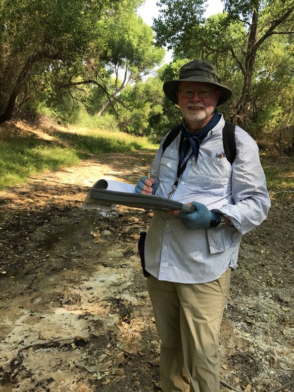 A Wet-Dry team member records a dry reach on the Agua Fria River near Arcosanti, June 2017.
Wildlife surveys are conducted to monitor the condition of riparian resources.
- Yellow-billed cuckoo in June, July and August
- Bird migration surveys in the spring and post-monsoon seasons
- Trail camera monitoring for mammals in the riparian corridor